A history through pictures

1890’s High Street - Jubilee Terrace - The Platt Family
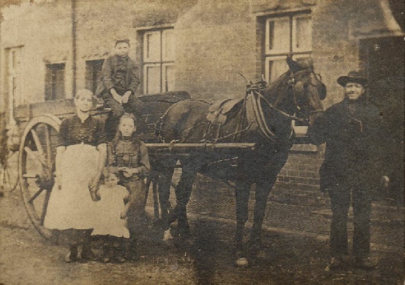
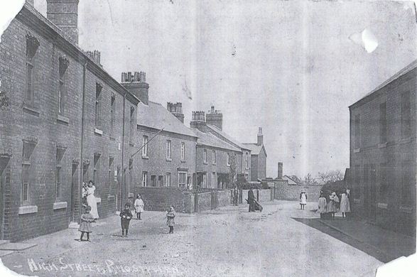
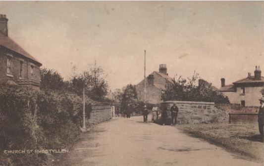
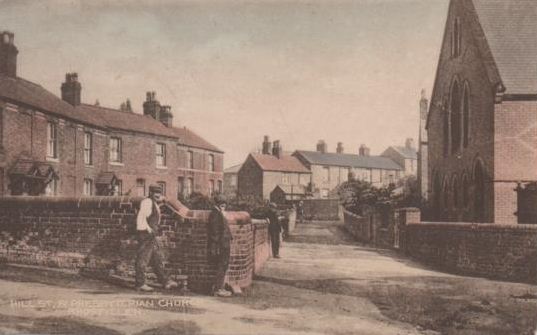
Circa Early 1920’s - The Post Office - Vicarage Hill
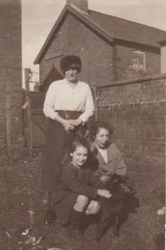
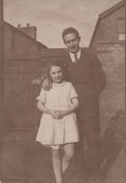
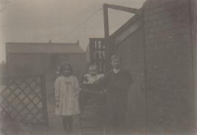
(All these photographs were taken either to the front, side or rear of the old post office. Many of the buildings in the background - Church Street have now been demolished. Please consult the 1899 map to pick the buildings out as they once stood)
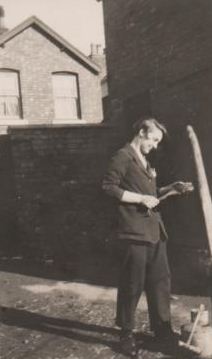
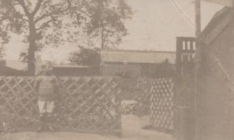
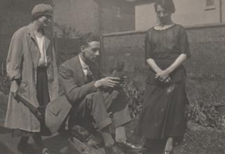
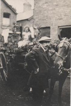
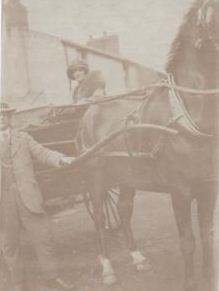
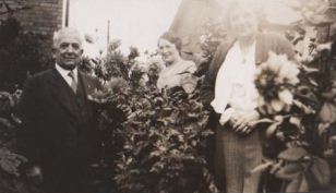
Circa 1910 - Lilac Cottage - Church Street
Will Lloyd and Bill Gilpin feature in the photographs
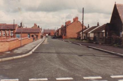
Circa Early 1980’s - School Street (note the old infant and junior schools, the “Welsh”chapel where Trinity Close now stands and the chapel at the Church Street end which was Janet’s Hairdresser shop
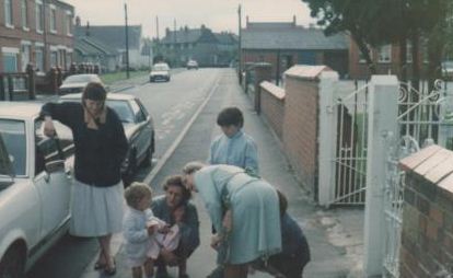
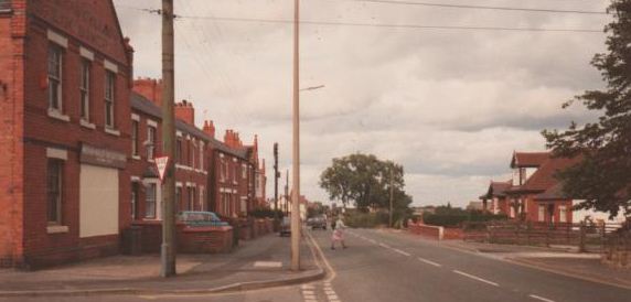
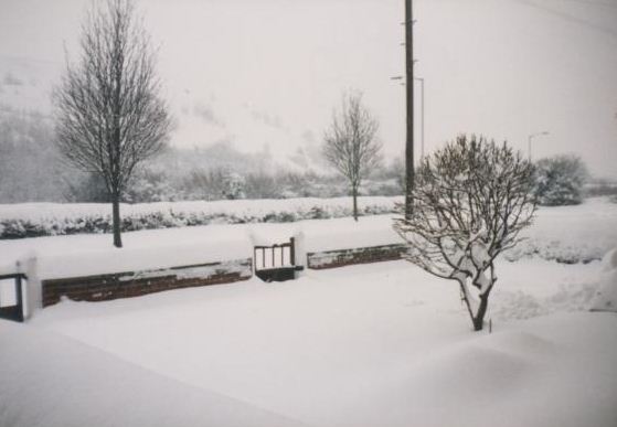
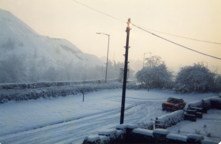
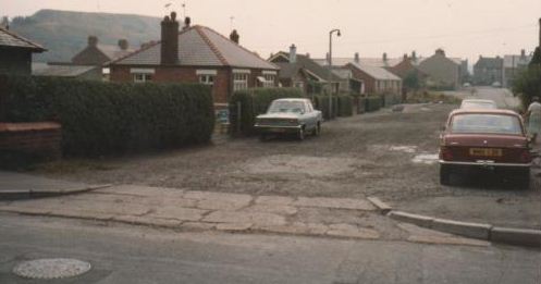
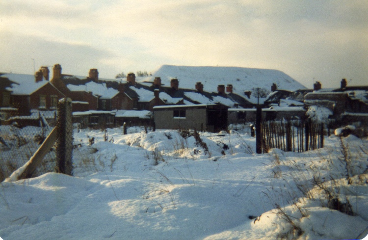
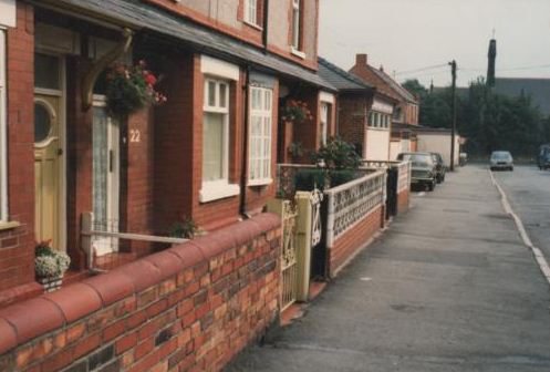
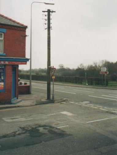
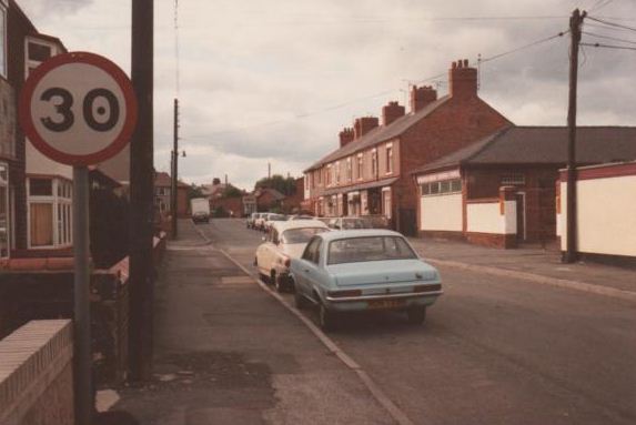
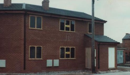
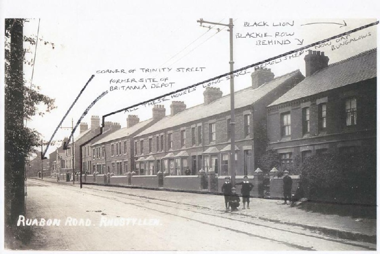
Circa Early 1980’s - Ruabon Road (junction with Trinity Street) Note Britannia Depot now demolished for new housing
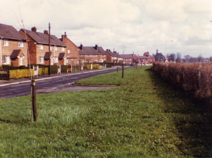
Circa Early 1980’s - Holmwood Avenue (note Godfrey’s shop in the distance)
We moved here in 1976 (from Ferndale Avenue). Entertainment in those days was kicking a ball against a fence, soap on a rope and jumping off Michael Jones’ out house roof onto an old mattress. Priceless!
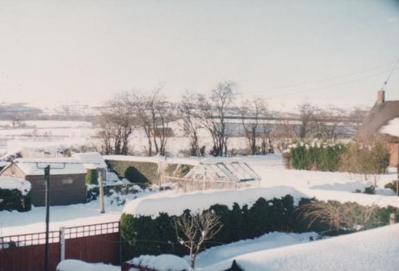
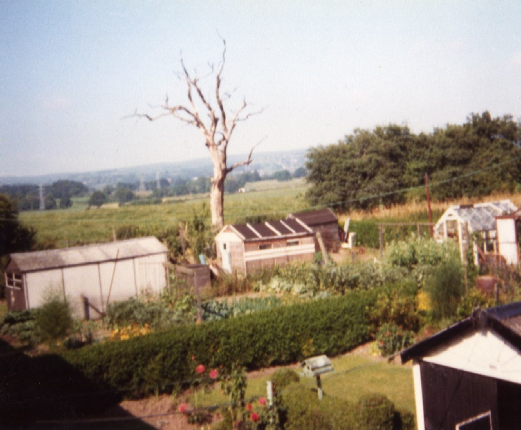
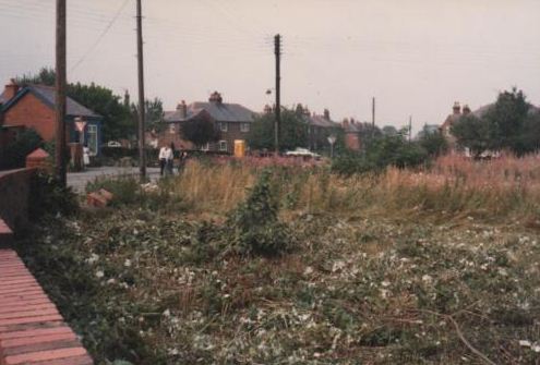
Circa Early 1980’s - View to the rear of Holmwood Avenue (note the clear view to the hills beyond now occupied by an industrial estate
Circa Early 1980’s - View from Holmwood Avenue to the Colliery Bank. This land is now occupied by housing and a car show room and garage
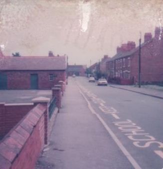
Circa Early 1980’s - Spring Road
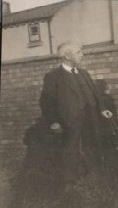
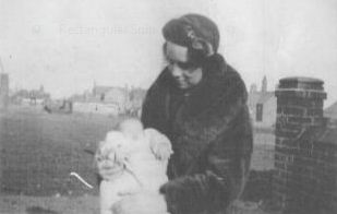
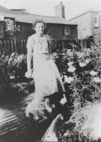
Circa 1939 - Spring Road - This photograph was taken from the Church Street end outside of where Mrs Griffith’s Bungalow used to be. The lady in the photograph below was Jenny Markie whose husband died in the sinking of HMS Hood during the second world war. As you can see Spring Road was really just a large expanse of grass at this time. My Grandad said that this area was often home to groups of “Travellers” living in caravans. My Grandad was not politically correct and used another word to describe the people living there!
Circa Early 1980’s - Trinity Street
Circa 1980’s - the demolition site of the old “Welsh” chapel. This land is now occupied by Trinity Close
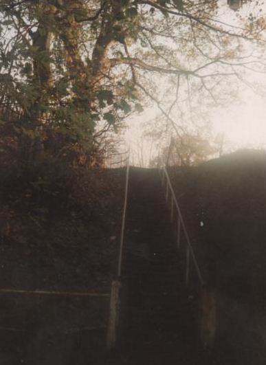
Circa Early 1980’s - The 46 steps before the houses on the Gower Estate were built
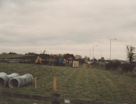
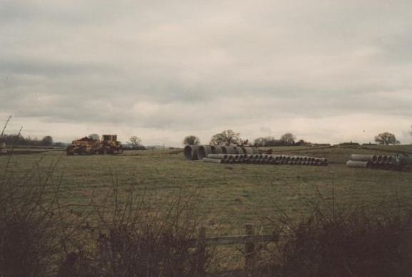
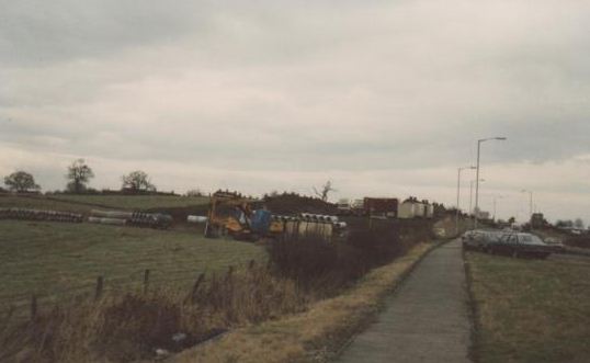
Circa Early 1980’s - The land as it was before the petrol station, fast food and drink companies, car showrooms and houses that were built between Rhostyllen and Croes Foel
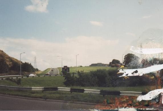
Circa Early 1980’s - The Croes Foel Roundabout before the flyover was built
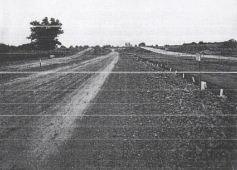
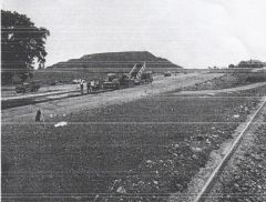
Circa 1970’s - The building of the A483 in the eyes of many obliterated the landscape forever, especially the village of Bersham. Many inhabitants of Rhostyllen have fond memories of Bersham as it was once a local beauty and picnic spot. The Road also severed through the old GWR line from Rhostyllen to Rhos.
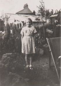
Circa 1930’s - Photographs taken from the garden of 1 Woodland Grove, Hill Street (the home then of Brenda Howells - now Davies). All the houses in the background have all long since been demolished. The long row of houses in the second photograph are where the two relatively new houses that look out over the recreation ground are situated. The house on the end was on the land immediately in front of where the foundry used to be
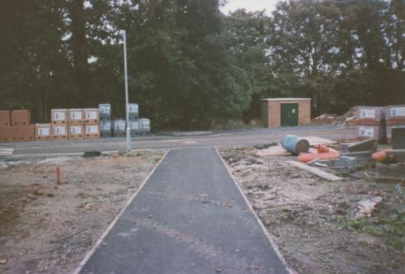
Circa 1990’s - The path that leads down from where the old foundry was situated before the houses on the Gower Estate were built
Circa Early 1980’s - The last tram pole standing on the junction of Ruabon Road and Church Street
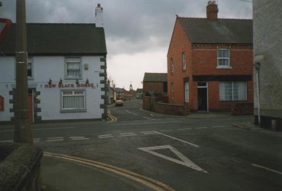
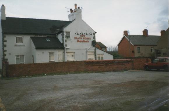
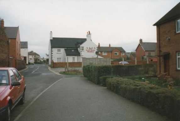
Circa late 1980’s - The New Black Horse - Know locally as the “Top Pub”. It had the “best” toilets in the village if you liked downhill skiing and was especially treacherous in the winter when the lights were not working! In the 1970’s and 80’s there was a betting shop to the rear of the pub which my Dad often frequented!
As above - Note the old Ford Escort (I had one of those as a scalextric model, it used to always beat the Minis!)
Circa Early 1980’s - Spring Road - Since this photograph was taken OAP bungalows have been built. However, prior to this there was a strip of waste land that stretched all the way up Spring Road. It was here that I used to play as a child whilst staying at my Gran and Grandads in the 1970’s. (Note the cross on the top of the Colliery Bank)
Circa 1990’s - Trinity Close in the process of being built
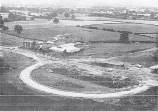
Circa 1970’s - The construction of the Croes Foel Roundabout (taken from the Colliery Bank
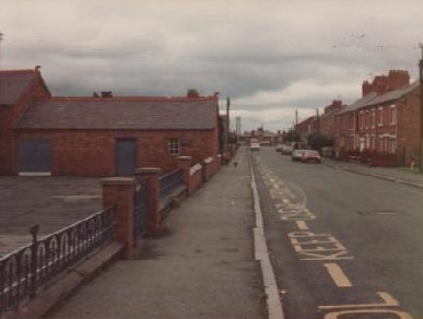
I took the photograph below many years ago. If you look hard enough you can see Mervyn Roberts walking on the left hand side of the street in his long black coat. I subsequently gave the photograph to Mervyn. Joan Roberts kindly gave me access to his photo albums (with many of his “snaps” appearing on this site) and it was nice to see that he had put my photograph together with the rest of his extensive collection!
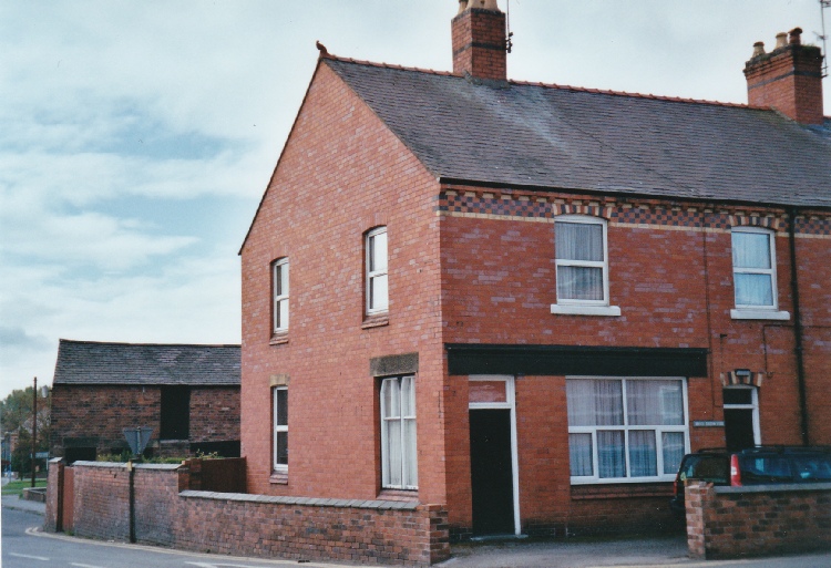
2004 Old Post Office - Bryndedwydd (Blissful Hill) still with stable to the rear
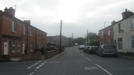
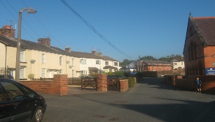
“Owen Roberts is standing in the doorway. His wife Eleanor is leaning against the wall with my mother Olwen” - Geraint Lloyd
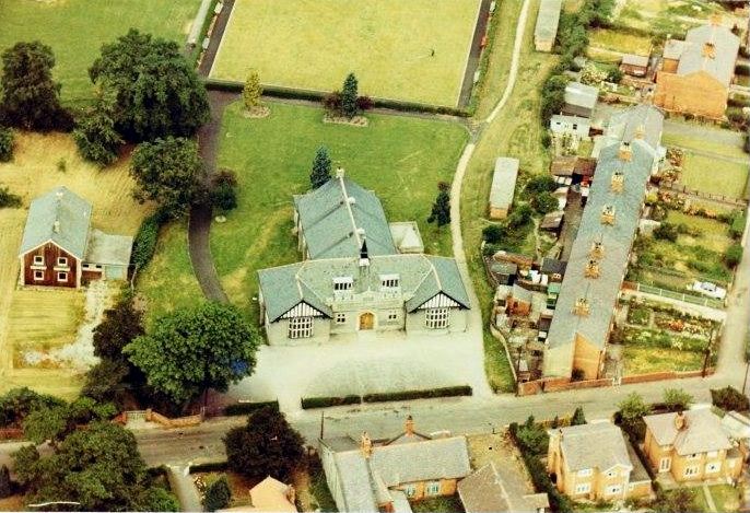
1972 - Parish Hall (aerial view)
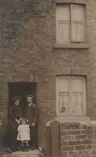
1907 - High Street - Owen Roberts is standing in the doorway of his High Street property with his wife Eleanor and daughter Olwen.
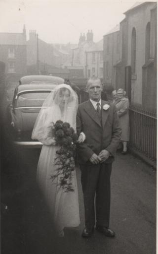
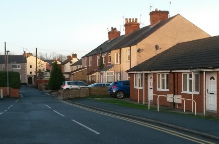
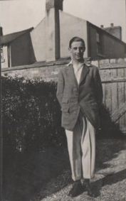
This is my Grandad (Vic Haynes) with his sister Gladys at her wedding. The Rhostyllen Primitive Methodist Chapel (the building on the right) used to stand where the OAP bungalows are now situated. For more on this Chapel click here
2015 - Chapel Street
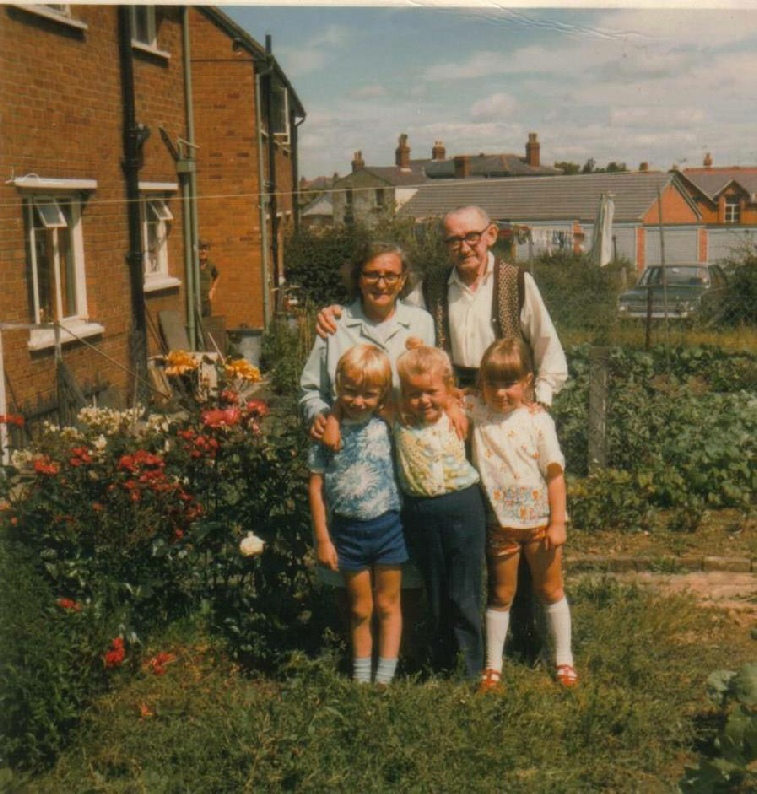
1973/74 - 15 Ferndale Avenue (back garden)
Bill & Mary Jane Carr with Jane Holland (middle child). The other two children are unknown. Peering around the corner is Fred Holland (Jane’s Dad). In the background is Rhostyllen School and Bersham House (long since demolished to make way for new housing) and the garages I used to climb over as a kid to get a short cut to Church Street!
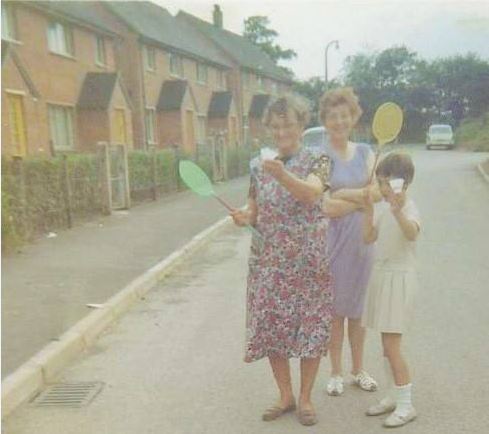
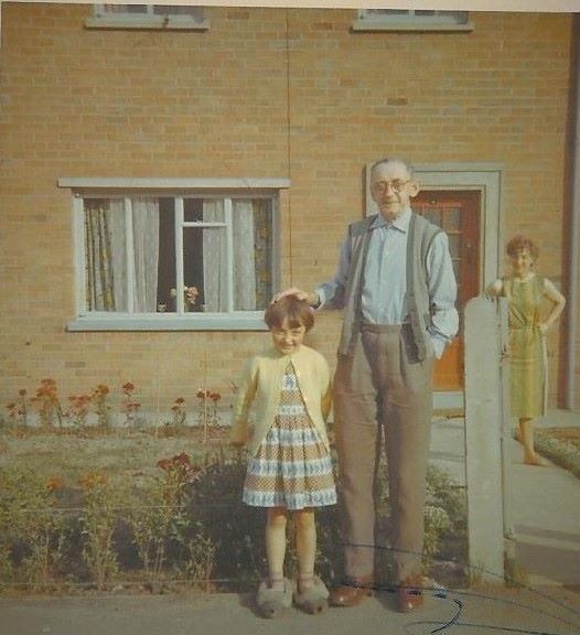
“My Mum Granny & Me in Ferndale Ave around 1967" - Karene Grant.
“My Grandad Bill Carr & me outside 15 Ferndale Ave Rhostyllen around 1967 they moved there from the Ddol in Bersham” – Karene Grant
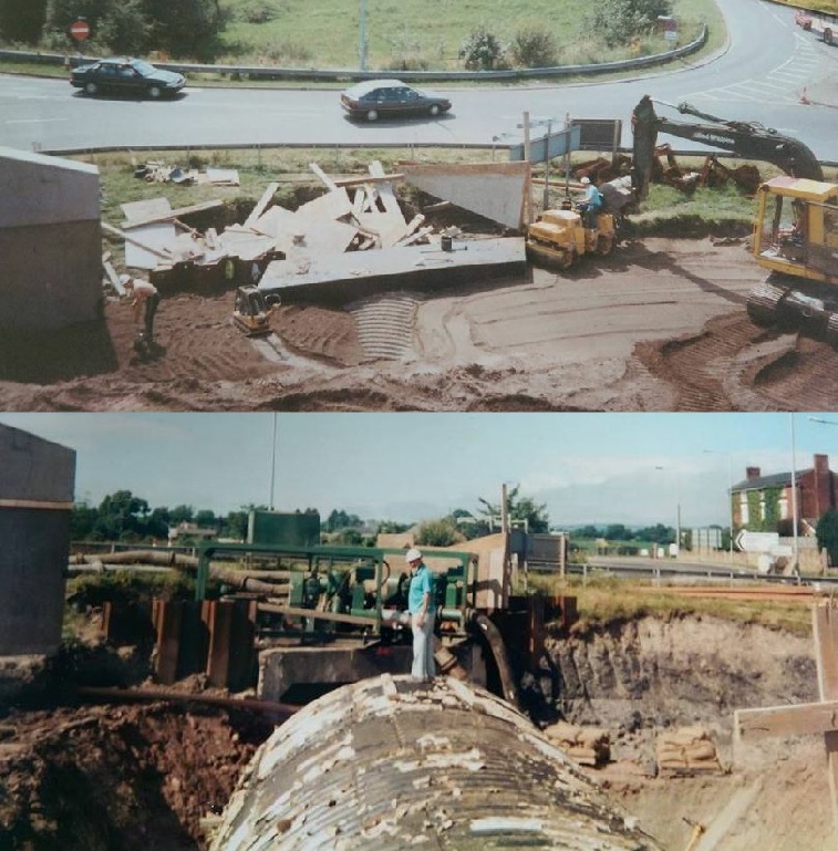
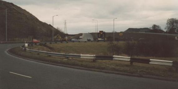
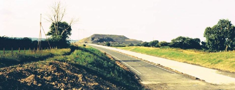
1980’s - A483 From the Johnstown side
Below 1970’s - A483 Construction from the Rhostyllen & Bersham side
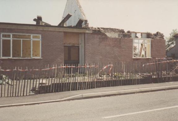
1980’s - Demolition of the Sunday School
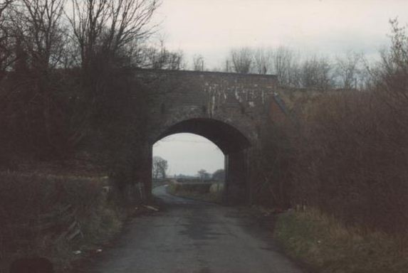
Early 1980’s - Echo Bridge
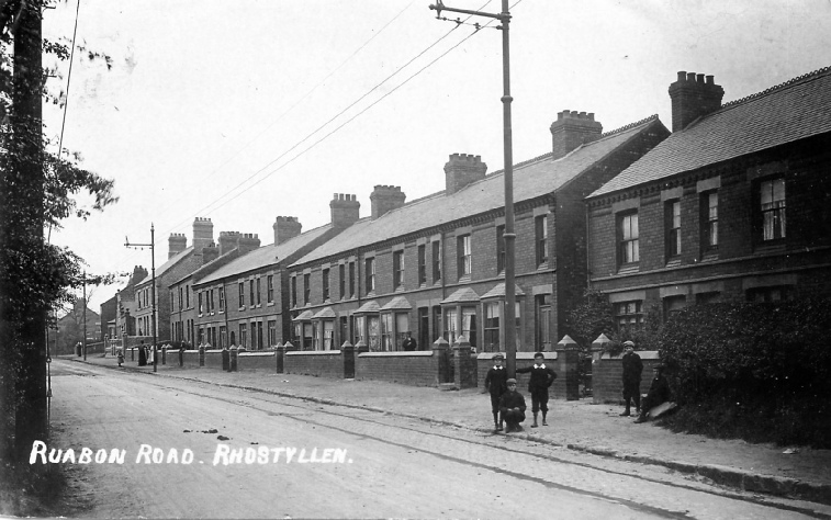
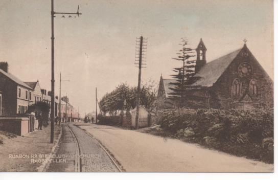
1910 - 1920 Ruabon Road, Rhostyllen
Many thanks go to Eileen Williams for passing this postcard image on to me from Gwyneth Williams author of Postcards From The Past.
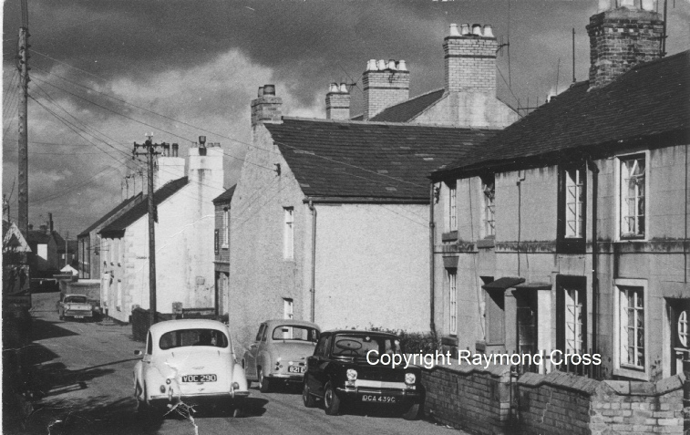
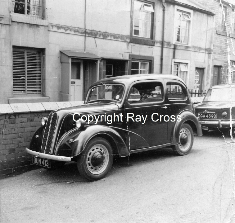
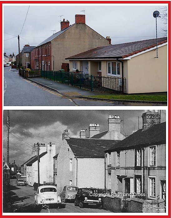
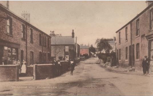
Vicarage Hill (Now and 1964)
Many thanks go to Eileen Williams and Raymond Cross for the above photographs.
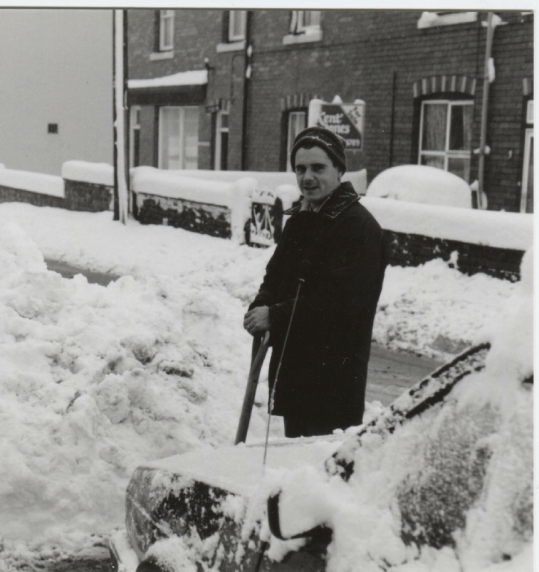
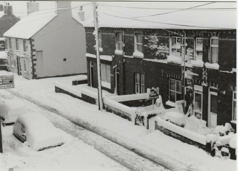
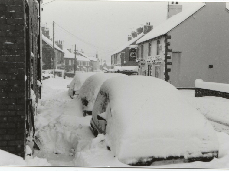
1996 Winter snow in Vicarage Hill
Thanks go to Vic Jones for supplying the photographs
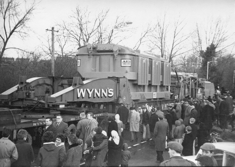
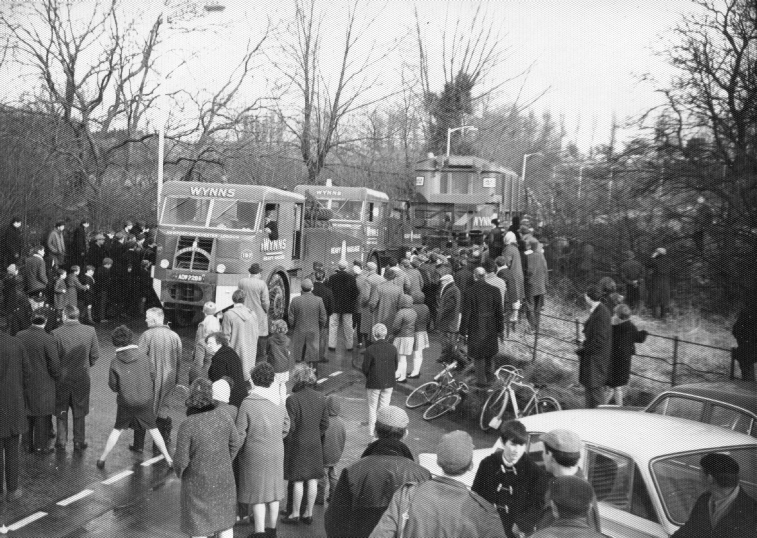
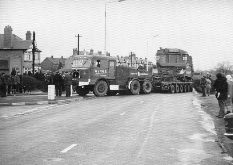
1967 - New equipment being brought through Felin Puleson and Rhostyllen to enable Legacy Substation to be upgraded to 400v for the new National Grid. The railways couldn’t handle it, and road transport was the only solution.
Wynn’s Haulage Company had an air-cushion trailer built for the job. It was the first of its kind in the UK, and was based on the recently put into service Hovercraft.
The problem was Felin Puleston Bridge over the Clywedog. The cushion of air distributed the weight to enable the bridge to support the load.
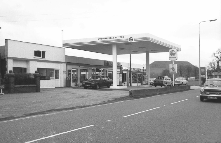
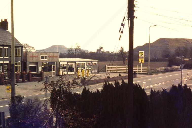
Late 1970’s - The BP Garage from Gallander’s Shop
Many thanks go to John Gallanders for sharing his Father’s slide collection with me
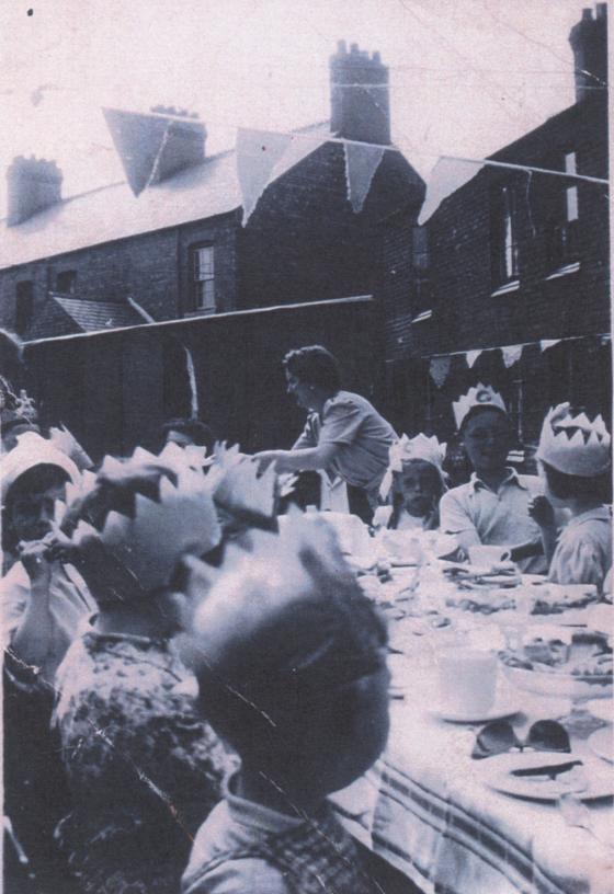
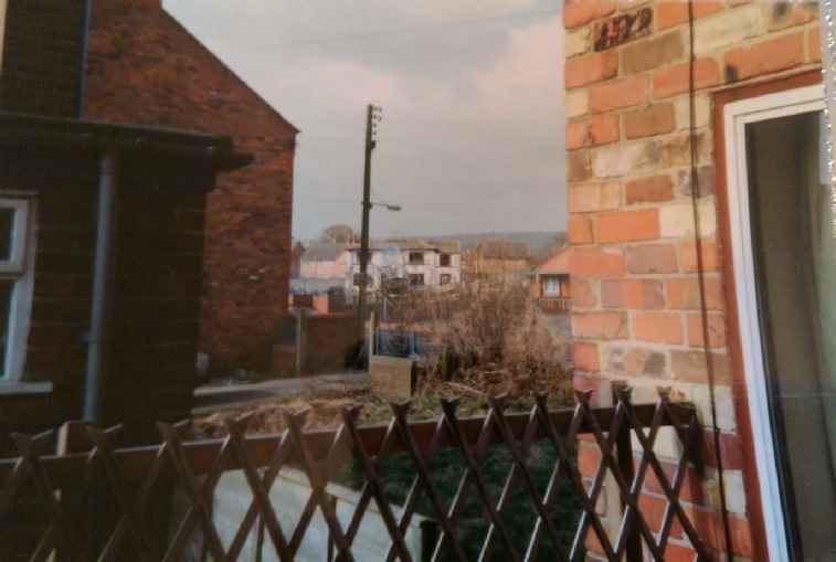
Blackie Row (Year unknown) - this photograph is taken in the back yard
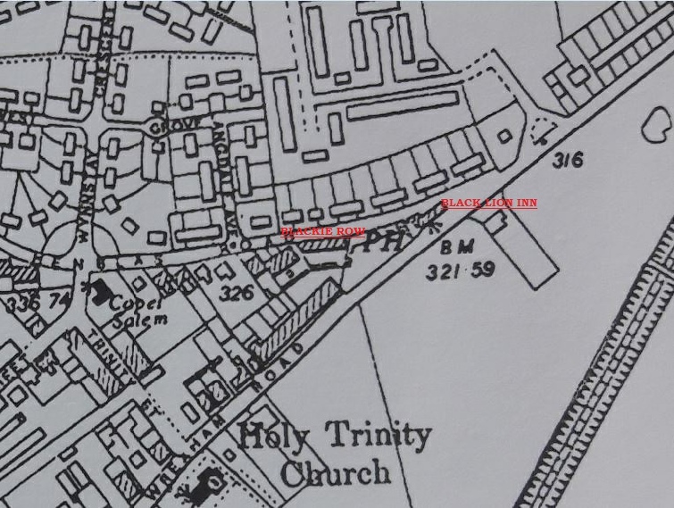
Blackie Row is the terrace at an angle on the right (now demolished). Council bungalows now stand in its place. The other houses to the left still exist in Henblas Road today. Many thanks go to Terry Thompson for supplying this photograph
1980’s - Bersham House (centre) from School Street
Photograph kindly supplied by Nicola Stretch
The third shot is of the convoy turning into Henblas Road, heading towards Vicarage Hill, and on to Bronwylfa Road. The by-pass didn’t exist then, and it was a flat crossroad at the end of the village.
It was a big event, as you can see from the crowds. No high-vis, and no coppers making a nuisance of themselves. Funnily enough, nobody used to get hurt.
All photographs and narrative kindly supplied by Peter Prydderch.
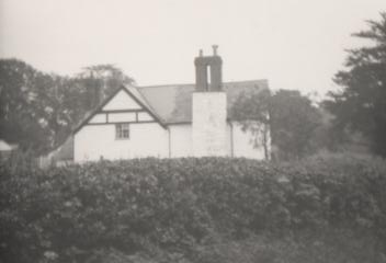
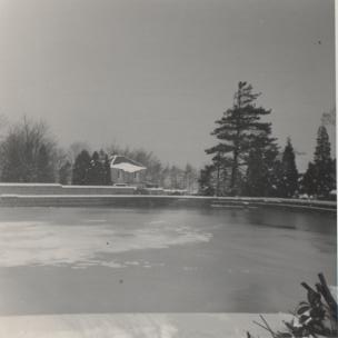
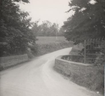
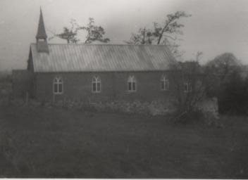
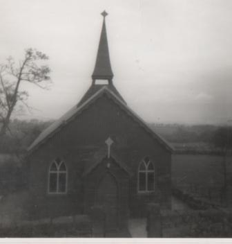
Esclusham Hall, Legacy and surrounding area
1963 House next to Legacy Water Tower
1963 The road to Rhos before it was widened
